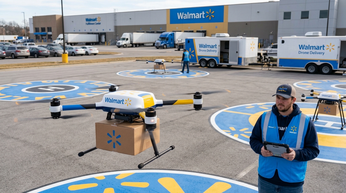
The updated agreement pushes the retail giant deeper into high-speed aerial logistics. Adding hundreds of operational sites allows the brand to cover significantly more neighborhoods with rapid fulfillment options. Shoppers access the capability directly via the company app and track their purchases until a tethered pod lowers the order from a cruising altitude of 330 feet.
This rollout capitalizes on a massive structural edge for the brand. Executives note that 90 percent of Americans reside within a ten-mile radius of an existing store. Traditional ground couriers face immense pressure competing against a rival that bypasses road congestion entirely to deliver tens of thousands of eligible products in under thirty minutes.
Mapping the Aerial Logistics Threat
To survive this shift in immediate-need retail, industry leaders require precise visibility into overlapping service areas. Delivery platforms and grocery chains must understand exactly which local neighborhoods fall inside these new high-speed boundaries. By leveraging competitor delivery radius analysis, strategy teams can pinpoint vulnerable zones and optimize their own geographic coverage.
If you need actionable intelligence on changing fulfillment boundaries across your key markets, connect with the FoodDataLab team to discuss our data monitoring solutions.
SourceWalmart adds 300 locations to drone delivery network (opens in a new tab)